|
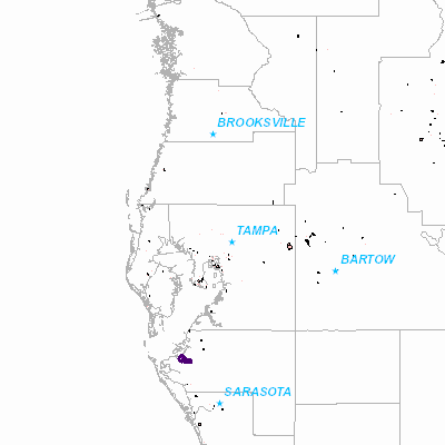
Width: 400 Height: 400 Extent:
YMin: 1029955.5650940514 XMax: 866220.0713106489 YMax: 1706387.8567607182 Spatial Reference: 2882 (2882) Scale: 1948125.0000000002 |
| ArcGIS REST Services Directory | Login | Get Token |
| Home > services > r27 > WcpSubmittal (MapServer) > export | Help | API Reference |
|
|
Width: 400 Height: 400 Extent:
YMin: 1029955.5650940514 XMax: 866220.0713106489 YMax: 1706387.8567607182 Spatial Reference: 2882 (2882) Scale: 1948125.0000000002 |